On the Kuwae Trail

Happy to secure some transport from central to southern Epi. L to R. Stuart Bedford, Salkon Yona, Siri Seoule with smile, Sonke Stern and Robert Henderson along with a crew of four at the rear

Land and sea-based research in central Vanuatu revealing the extent of one of the largest eruptions of the last 1,000 years

Back in August 2022, the Secrets of Kuwae began to be revealed, in Chapter 1 of an amazing exploration initiative being undertaken by CHL's Associate Professor Stuart Bedford and Associate Professor Chris Ballard, along with Auckland University volcanologist Shane Cronin.

The massive eruption of the Kuwae volcano in the 1450s CE was one of the largest volcanic events in the world, with significant impacts locally in Vanuatu, regionally and globally. Locally, it tore apart the former island of Kuwae, leaving the islands of Tongoa and Epi as its remnants, and profoundly reconfiguring the political, linguistic and ecological landscapes of central Vanuatu.

Globally, Kuwae is credited with launching the Little Ice Age (~1450-1530 CE) and devastating economies around the world. Associate Professor Stuart Bedford and Associate Professor Chris Ballard are leading an ARC-funded Discovery project, together with Shane Cronin, which aims to confirm the date and the scale of the Kuwae eruption at its source, on the islands of Epi and Tongoa.

We’re excited to bring to you the next chapter of this mammoth project.

Chapter 2: Gauging the Wrath of Kuwae

Further fieldwork was undertaken in March this year in relation to the ARC-funded Kuwae project. Plans for a bathymetric survey of the undersea caldera were set in place in September last year by booking the only suitable boat for such an exercise. Seas are generally calmer outside the trade wind season, so it was decided that March would suit all involved. The only risk was cyclones.

All preparations were going well, with people expected to arrive from Canberra and Auckland in early March. Then suddenly, all plans were wrecked as Vanuatu was indeed hit by double cyclones, Judy and Kevin, within 24 hours of each other. While the cyclones passed relatively quickly, it was the damage done to infrastructure that created chaos. However, as is almost always the case in Vanuatu despite such events as cyclones, things worked out in their own way. Ten days after the cyclones, the team headed out of Havannah Harbour on the west coast of Efate on super calm seas on the Amalu. On board were Stuart Bedford along with Sönke Stern, a volcanology PhD student and technician Brendon Hall both from Auckland University, Siri Seoule and Iarawai Phillip from the Vanuatu Cultural Centre and Estonia Meltetake from Vanuatu Geohazards.

Epi (left) and Tongoa (right) Islands with the 12km gap in between created by the eruption of Kuwae

The fieldwork combined both days of recording the undersea crater but also part of the team were able to visit the nearby islands of Emae and Tongariki. Bedford recounts his primary role was to lead the land based activities. “While being on the boat was great, as you got a perspective from the sea, after a few days of simply running up and down between Epi and Tongoa, I was keen to get to the other nearby small islands to search for signs of the eruption. I was dropped off on Emae Island with colleagues from the Vanuatu Cultural Centre and we proceeded to excavate testpits across the landscape there. Later, we were dropped off on Tongariki, again to test for evidence of the eruption. Once the bathymetric survey was done Sönke and Estonia joined us on the islands to assess any evidence for impacts. On Emae we were all somewhat stunned to be able to identify signs of a pyroclastic flow associated with Kuwae, the tsunami-like occurrence that comprises hot gas, rock, ash and other debris that moves at 100kms an hour, which had seemingly travelled some 30km across the sea and ended up on a plateau on the north end of the island.” 

Estonia Meltetake from Vanuatu Geohazards and Sönke Stern examining tephra deposits on Emae Island

 Tongariki was equally intriguing, although it seems closer to Kuwae, the impacts were different. The island is very steep-sided with most of the population living on a high plateau. Evidence there was in the form of a 25cm-thick aerial deposit. It seems that the 80m-high cliffs of Tongariki were enough to block the pyroclastic flow.  In relation to these results, Ballard noted that “this multidisciplinary combination of archaeology, volcanology and oral traditions is a powerful mix in terms of gaining the most complete understanding of this major event. The fact that the volcanic evidence on Tongariki suggests people could have survived the eruption ties in nicely with oral traditions”.     

The bathymetric survey was completed over six days and endless trips back and forth Epi and Tongoa.

Sönke Stern (L) and Brendan Hall on board the Amalu checking incoming data

A preliminary map confirms the cataclysmic nature of the eruption, with the base of the caldera now recorded at 500m below sea level. A reminder that volcanic activity is always a threat and ever-present is the image of the near perfect cone of Karua, the active undersea volcano which appears every now and then, within the Kuwae caldera.

Preliminary map of the Kuwae caldera, some 500m deep. (Sönke Stern)
Combining work and play, Iarawai Phillip shows off his proud catch during the survey

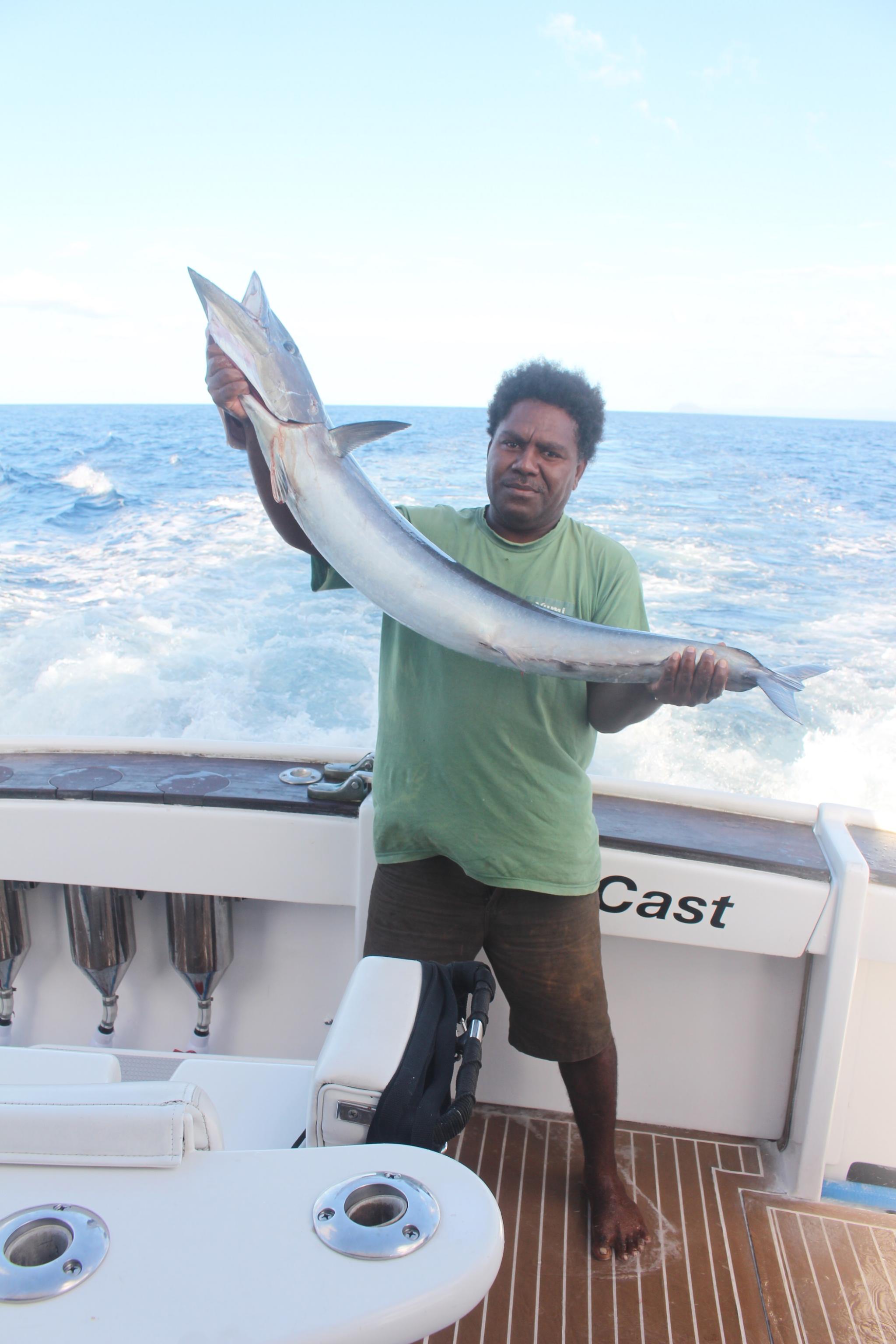
Image on the left: Combining work and play, Iarawai Phillip shows off his proud catch during the survey 


The fieldwork emphasised for Bedford the resilient nature of communities in Vanuatu.

While our immediate focus was a massive volcanic eruption that occurred 550 years ago, we were present in a region that 10 days earlier had experienced an unprecedented double cyclone. Yet, communities in the islands had largely put all their buildings back together, were feasting on newly harvested yams and were primarily concerned about damage to their kava crops. Cyclones of course are part of life in Vanuatu, and we were welcomed with enthusiasm and support everywhere including on the boat by Captain Andrea Traverso and crew, some of whom had lost the roofs of their homes.

Stay tuned for future chapters in this remarkable story, as the mysteries continue to unfold including excavations on Emae and Tongoa that will help precisely date the eruption and when people resettled!

Attachments